Guide updated:
Change a supported geographic file into another available format and verify the geometry.
Open this guide using the “How to use this tool” link below the tool name. It includes steps, screenshots and videos for computers and phones.
Before you start
Keep the original file and note its coordinate system. Not every output format preserves the same attributes or geometry types.
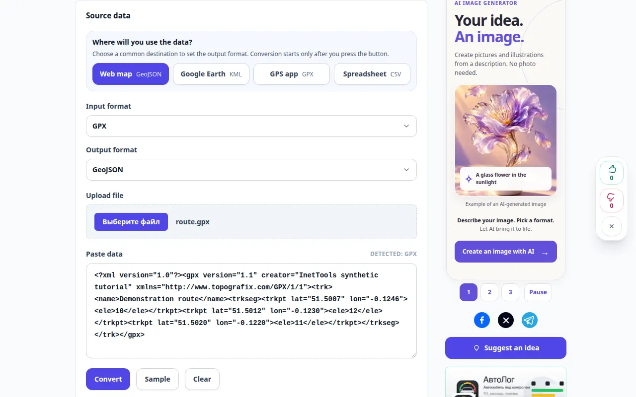
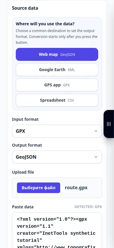
Try with a demonstration file — route.gpx
These small files were created for this guide and contain no personal data.
Step-by-step instructions
- Choose a supported source such as a route or geographic data file.
- Wait for the source information and any available preview.
- Select the target format and the options relevant to the geometry you need.
- Start conversion and wait for the result or report.
- Save the output and open it in the destination application. Check point count, route shape and important attributes.
On a computer
Use the full-width working panel to compare the source, settings and result. Keep the original file so you can try another setting without replacing it.
On a phone
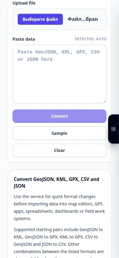
Choose the source from Files or your device file manager. Scroll down to the settings and result; keep this tab open until the operation finishes.
In Safari on iPhone, open the sharing menu and choose Save to Files if the result opens in a new tab. In Android Chrome, check Downloads. Keep this tab open until processing finishes.
For a better result
Check a known location after conversion. A plausible-looking file can still use the wrong coordinate interpretation.
Screenshots and video
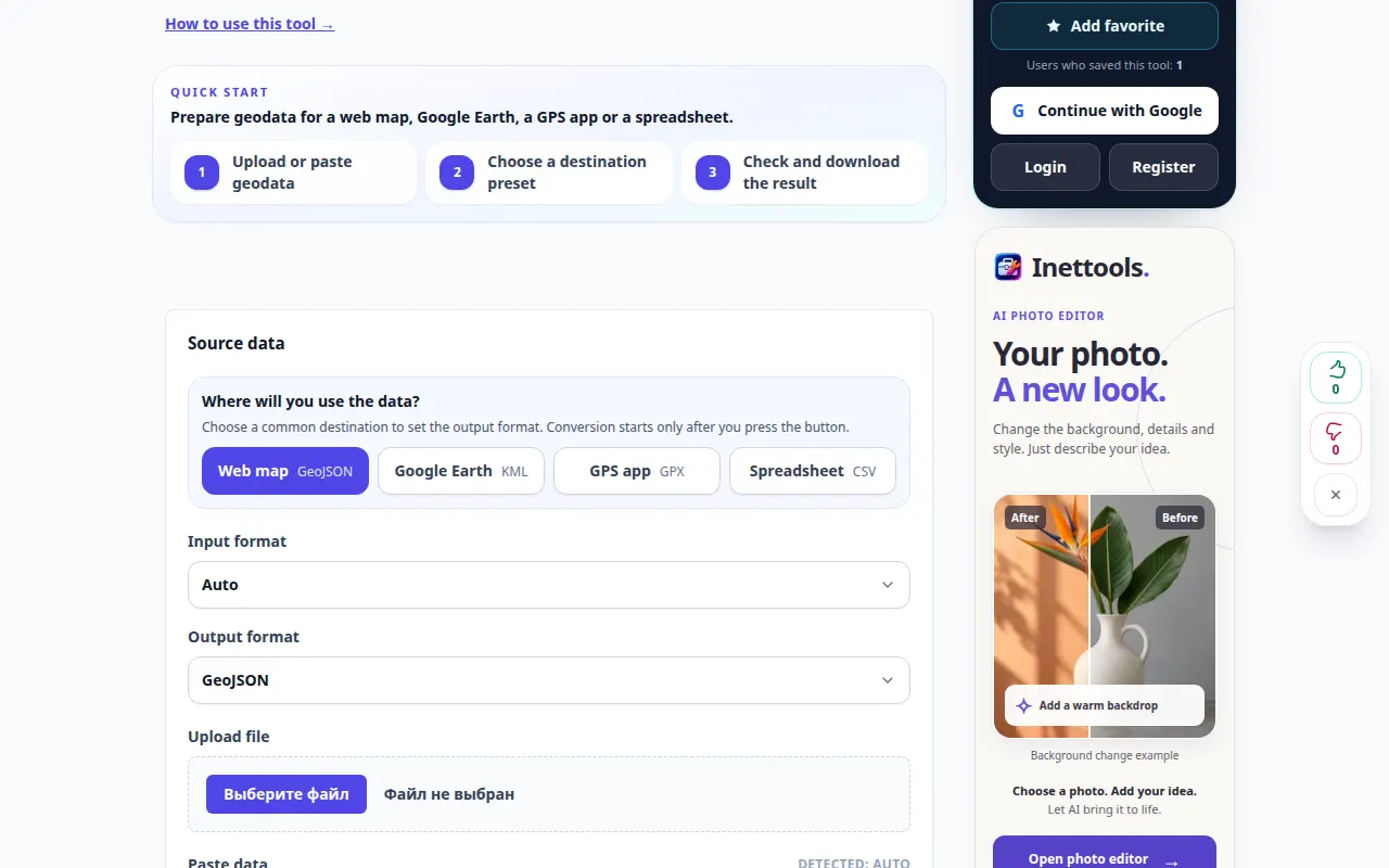
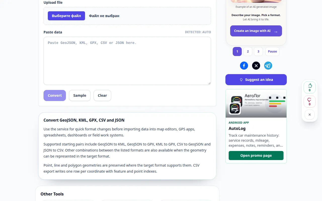
Desktop demonstration
The recording shows the English interface. Follow the translated steps above; the controls are in the same order. This recording shows the source and available settings before the main action. Follow the steps above to start processing and save the result.
Phone demonstration
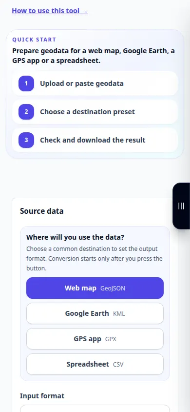
The recording shows the English interface. Follow the translated steps above; the controls are in the same order. This recording shows the source and available settings before the main action. Follow the steps above to start processing and save the result.
Questions and troubleshooting
Why are some attributes missing?
Formats support different properties. Export only to a format suitable for the fields and geometry you need.
Does a route file always preserve elevation and time?
No. Check whether those fields are supported by the selected input and output formats.
If you see a message that the service is overloaded, wait and try again later. A failed attempt does not mean that your source file has changed.