Guide updated:
Mark points on a map and inspect the length or area calculated from their geometry.
Open this guide using the “How to use this tool” link below the tool name. It includes steps, screenshots and videos for computers and phones.
Before you start
Decide whether you need a path length or a polygon area. Map measurements are estimates based on the selected points.
Step-by-step instructions
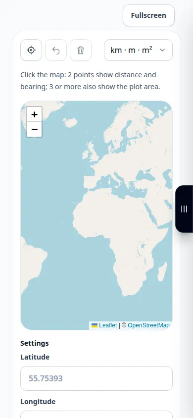
- Open the map and move to the place you want to measure, or enter the first point using the latitude and longitude fields.
- Choose the displayed measurement units. The tool calculates distance, area and bearing from the points you add.
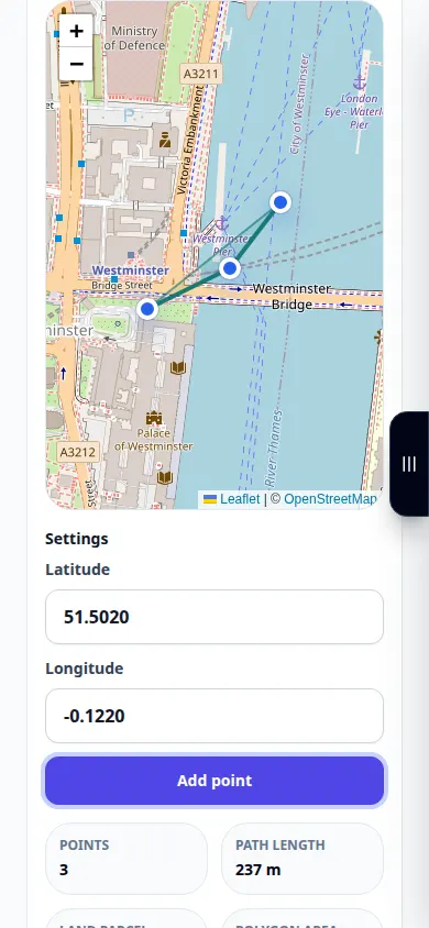
- Add points along the path or around the boundary in the intended order.
- Review the line or polygon and the displayed units. Correct a misplaced point using the available editing controls.
- Save the offered geometry export and note the displayed measurements and units. Keep enough context to reproduce the outline.
On a computer
Use the wider map to place points at bends and inspect the whole boundary before recording the result.
On a phone
Zoom in before placing points. Move the map carefully so that a drag is not mistaken for a point selection.
In Safari on iPhone, open the sharing menu and choose Save to Files if the result opens in a new tab. In Android Chrome, check Downloads. Keep this tab open until processing finishes.
For a better result
Add points at bends instead of only marking the start and finish. A straight line is not the same as a road route.
Screenshots and video
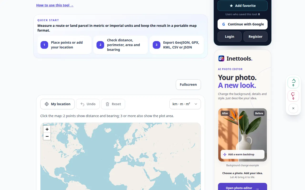
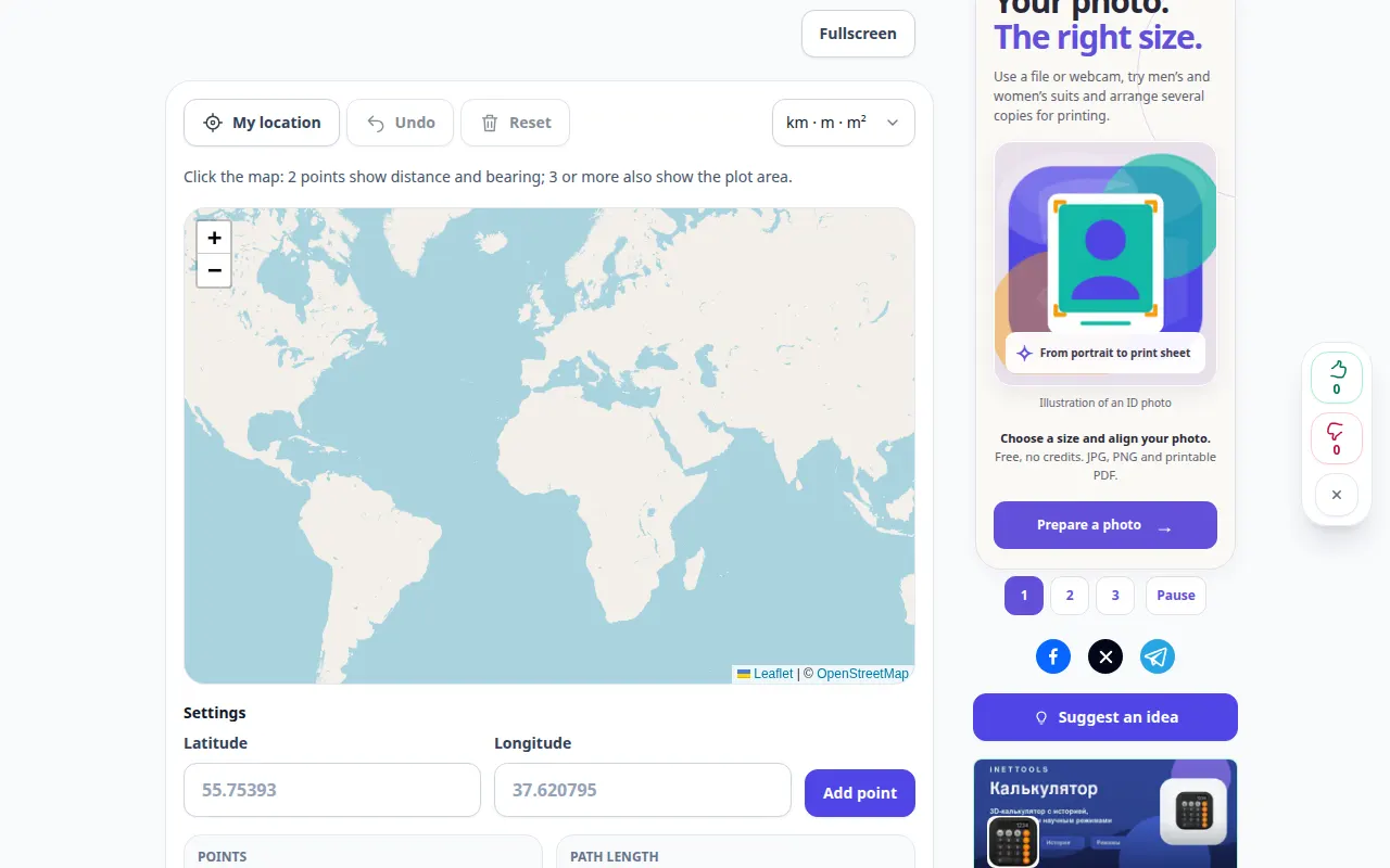
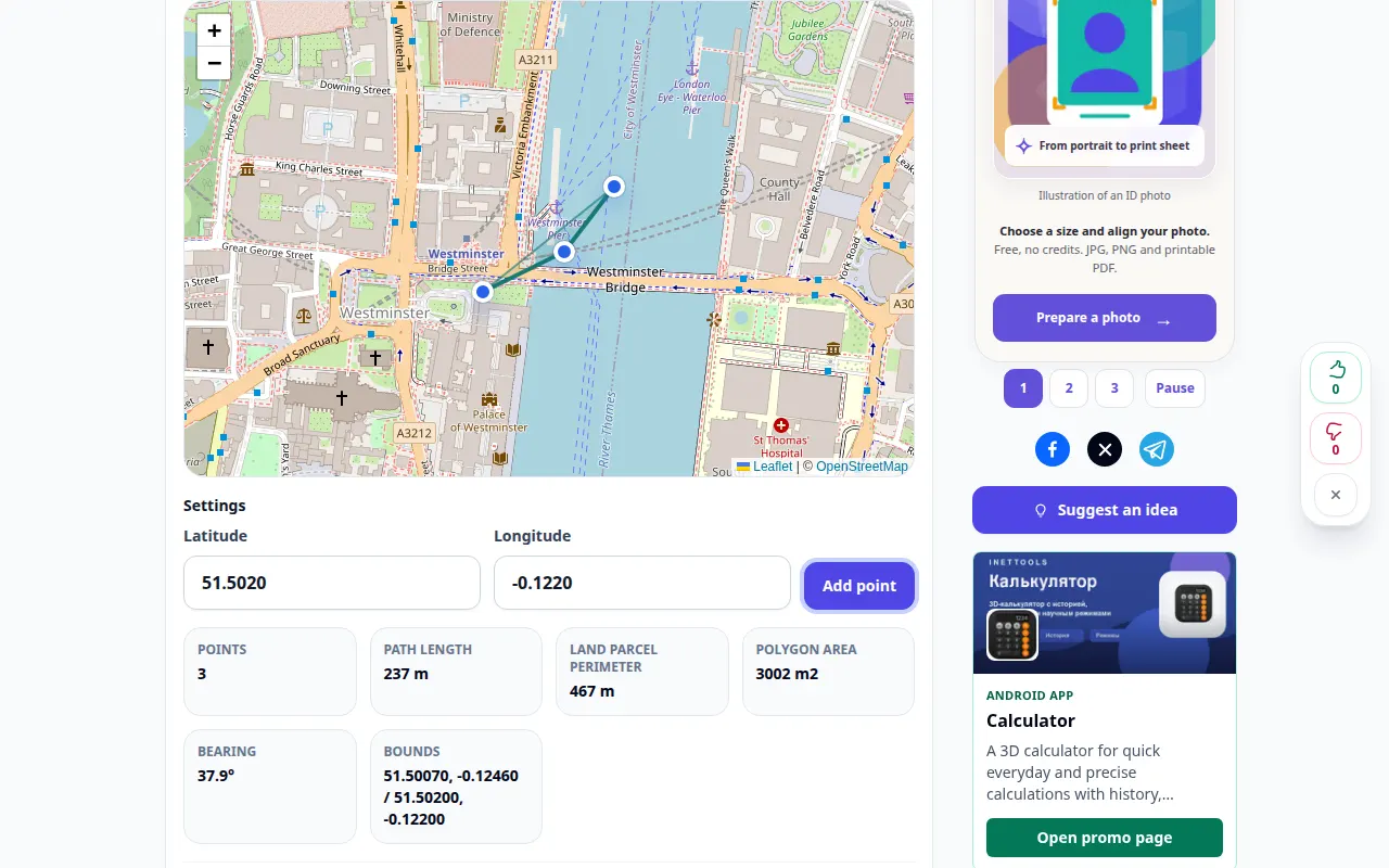
Desktop demonstration
The recording shows the English interface. Follow the translated steps above; the controls are in the same order. This recording shows a demonstration input and the resulting output in the tool.
Phone demonstration
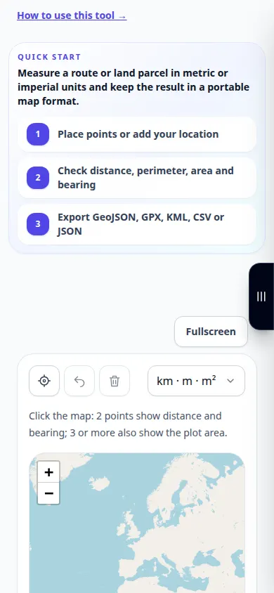
The recording shows the English interface. Follow the translated steps above; the controls are in the same order. This recording shows a demonstration input and the resulting output in the tool.
Questions and troubleshooting
Why is the result shorter than a driving route?
A geometric line does not automatically follow roads or include detours. Mark the path you actually want to measure.
Is this a cadastral survey?
No. The selected map points and map accuracy limit the result; the tool does not establish legal property boundaries.
If you see a message that the service is overloaded, wait and try again later. A failed attempt does not mean that your source file has changed.